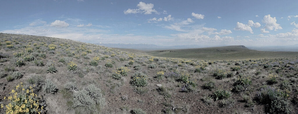
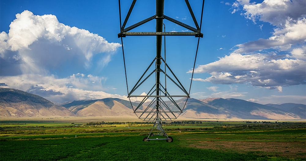
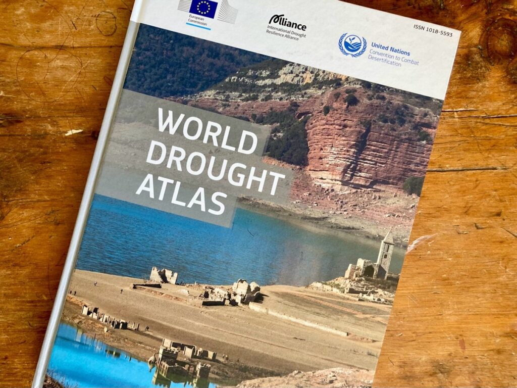
Image shows the desktop interface for the new OpenET FARMS interface.

FARMing with Data: OpenET Launches New Tool for Farmers and Ranchers

A NASA, DRI, and U.S. Geological Survey (USGS)-supported research and development team is making it easier for farmers and ranchers to manage their water resources. The team, called OpenET, created the Farm and Ranch Management Support (FARMS) tool, which puts timely, high-resolution water data directly in the hands of individuals and small farm operators.

A satellite and Hydrosat Logo appear over a background of a thermal map.

Measuring Colorado River Evaporation from Reservoirs

DRI is advancing water management in the Colorado River basin with support from the National Science Foundation's Southwest Sustainability Innovation Engine (SWSIE) and the Governor's Office of Economic Development. Partnering with Hydrosat, DRI uses high-resolution satellite thermal imaging to enhance evaporation estimates from key reservoirs, ensuring better resource planning amidst drought and population growth.

Cows grazing in a green meadow with mountains in the distance.

Western Agricultural Communities Need Water Conservation Strategies to Adapt to Future Shortages

Relying on water storage won’t be enough to make up for declines in future water availability under a changing climate, new study shows. Beatrice Gordon, lead author of the study and sociohydrologist and postdoctoral researcher at DRI, says the research is needed to inform water management at the local level, where most decisions are made.