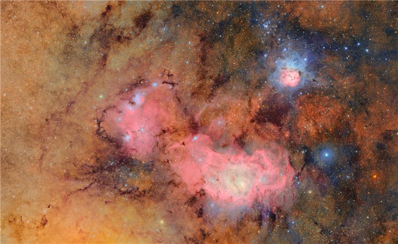
A barn in a wooded area with pine trees with snow falling and on the ground.

Blurring the Line Between Rain and Snow: The Limits of Meteorological Classification

A new study published in Nature Communications utilizes insights gleaned from DRI’s Mountain Rain or Snow project to evaluate why traditional weather forecasting struggles to identify the rain/snow transition line. The research was possible because thousands of community members across the U.S. contributed more than 40 thousand observations of the type of precipitation falling at their location.

Fires dot a mountainside with dense smoke billowing into the sky.

Weather Whiplash is Amplifying Wildfire Risk

While fires engulfed large swaths of southern California in early January, destroying more than 16,000 structures, taking at least 29 lives, and choking the air with smoke, a new study about weather whiplash was released. Co-authored by DRI’s Christine Albano, the research examined how a warming climate is creating an atmosphere more prone to extreme weather. Now, Albano and her co-authors have released a new report that applies the knowledge gained from January’s study to the recent fires, analyzing the broader climatic context that contributed to the unprecedented infernos.

Reddish colored ancient clay dwellings on a cliffside with trees.

New Study Traces Indigenous Population Shifts in North America Before Europeans

DRI’s Erick Robinson, Associate Research Professor of Climate and Archaeology, co-authored a new study that provides insight into North America’s Indigenous communities prior to European contact. The research found that although Indigenous populations varied regionally, the continent saw a population peak around 1150 A.D. before experiencing declines, likely stemming from drought, disease, emigration and warfare. A brief recovery around 1500 A.D. was followed by a sharp decrease upon the arrival of Europeans.

A city landscape shrouded in a red haze.

Floods, Droughts, Then Fires: Hydroclimate Whiplash is Speeding up Globally

DRI’s Christine Albano co-authored a new study that examines how a warming climate is creating an atmosphere more prone to extreme weather. This “hydroclimate whiplash” is evident in California’s recent weather, with winters filled with repeated atmospheric river storms driving the plant growth that the dry summers then parched, providing plentiful fuel for explosive wildfires.

Map of the western United States that shows you can click on Tribally controlled regions for more information.

New Climate Projections Released for Tribal Lands

Earth’s climate future is often discussed in terms of degrees of warming, but for farmers and ranchers, temperature is not the only metric that matters. Other variables such as the number of frost-free days, timing of first snowfall, or changes in spring and summer precipitation are critical to planning future planting, growing, irrigating, and harvesting activities. To help Native agricultural producers prepare for the changes to come, Native Climate has compiled detailed local climate projections for 633 tribally controlled areas in the United States, including Alaska Native Villages and State Designated Tribal Areas, and climate divisions for the State of Hawai‘i.

Landscape that includes people standing on a large ice sheet with hills and dark clouds in the distance.

Ice Patches on Beartooth Plateau Reveal How Ancient Landscape Differed From Today’s

DRI scientists Joe McConnell and Nathan Chellman co-authored a new study that examines a 6,000-year-old forest preserved in a Rocky Mountain ice patch. The research, which was led by the USGS and Montana State University, used the fossil wood to develop tree-ring based temperature estimates of the mid-Holocene period. The study can provide insight into the future elevational movement of forests under climate change, the scientists say.

Reno Sparks Heat Mapping Project logo over a picture of the city of Reno.

Reno-Sparks Heat Mapping Project Releases Detailed Urban Heat Data 

The summer 2024 data collection effort provides community members, legislators, and scientists with detailed maps of the region’s urban heat island. The campaign took place on August 10th, a clear and hot day for our region. The measurements and maps produced from the campaign reveal a great deal of variability across the nearly 200 square miles of our study area and between the early morning, mid-afternoon, and early evening time periods of the study. 

Landscape of Grass covered mounds in the United Kingdom with long grass in the foreground.

Lead Pollution Likely Caused Widespread IQ Declines in Ancient Rome, New Study Finds

Lead exposure is responsible for a range of human health impacts, with even relatively low levels impacting the cognitive development of children. DRI scientists have previously used atmospheric pollution records preserved in Arctic ice cores to identify periods of lead pollution throughout the Roman Empire, and now new research expands on this finding to identify how this pollution may have affected the European population.

Satellite Image of Simushir Island covered in snow and ice surrounded by the Pacific Ocean.

New Research Solves 200 Year Volcanic Mystery

DRI scientists Joe McConnell and Nathan Chellman are co-authors on a new study that sheds light on a historical mystery that has plagued historians and scientists alike for nearly two centuries. Using Arctic ice core records, the team identified the volcano responsible for an enormous eruption in 1831 that caused global cooling of around 1°C, leading to crop failures and famines around the world.

Thick smog hovers over a highway during rush hour traffic.

Regional, Racial, and Economic Disparities in Cancer Risk from Air Pollution Exposure Persist, But Improving, New Research Suggests 

Researchers from DRI and UNR teamed up for this new study, published October in Environmental Science & Technology. Using sociodemographic data from the U.S. Census Bureau and public health and air pollution information from the EPA between 2011 and 2019, the study identified higher estimated cancer risk tied to air toxics in urban communities, those with lower incomes, and those with higher proportions of racial minorities.